The Saint-Privat-d'Allier to Monistrol-d'Allier section of the GR65 is 7 to 7.4 km (about 4.5 miles) depending on the source, and takes 2 to 2.5 hours. After a short climb to the chapel of Rochegude (around 960 m), the path drops roughly 350 m on a steep, rocky descent, up to −19% in places, to reach the Allier gorges at Monistrol, at about 610 m. It is the first half of the official Saint-Privat to Saugues stage, and Monistrol is its lowest point.
Why split the stage at Monistrol?
Most guidebooks do not break the day here. The "official" stage runs from Saint-Privat-d'Allier to Saugues: 19.9 km, +803 m / −703 m, 5 h 05 according to the reference route sheet published by the Haute-Loire département, with a low point of 591 m and a high point of 1,103 m. Other guides give 19.5 to 20.5 km depending on their GPS track.
That profile says it all: first you drop into the gorge, then you climb straight back up onto the Margeride plateau. Monistrol sits right at the bottom, halfway along. It is the natural place to have lunch before the climb, or to spend the night and set off fresh the next morning. Organised walking holidays that split the stage stop here too. This page covers the first half; the second is in our guide to Monistrol-d'Allier to Saugues.
A word of caution on the numbers: no reliable source publishes a separate elevation figure for this section. Based on the Visorando GPS track, you climb from 888 m (Saint-Privat campsite) to 945 m below the chapel, then drop to 765 m at the D301 road and 611 m in Monistrol. That works out at roughly +60 to 90 m, then −330 to −370 m depending on the readings.
The route, step by step
- Saint-Privat-d'Allier km 0 · 880 m The GR65 leaves the D589, climbs a lane then a stony track, dips into a small valley, crosses a stream and climbs again.
- Combriaux km 1.4 A handful of houses. The path turns left, reaches a high point and crosses a road. This stretch can be waterlogged after rain; you can bypass it on the D301.
- Rochegude km 3.2 · ≈ 945 to 967 m You pass between two houses below the chapel of Saint-Jacques. The path starts as old cobbles, then becomes a narrow trail diving into the woods in switchbacks between trees and boulders. The official route sheet simply says: "prudence!" (take care).
- D301 km 4.3 · ≈ 765 m The path comes out on the road, then a track climbs into the hamlet.
- Pratclaux km 4.5 Through the hamlet, then a track between hedges and a lane. About 2.9 km to go.
- D589 On the way down, at the "give way in 150 m" sign and the house with a tower, go down to the left. At the D589, turn right and follow the pavement.
- Monistrol-d'Allier km 7 to 7.4 · ≈ 610 m The GR crosses the Allier on a metal bridge and enters the village.
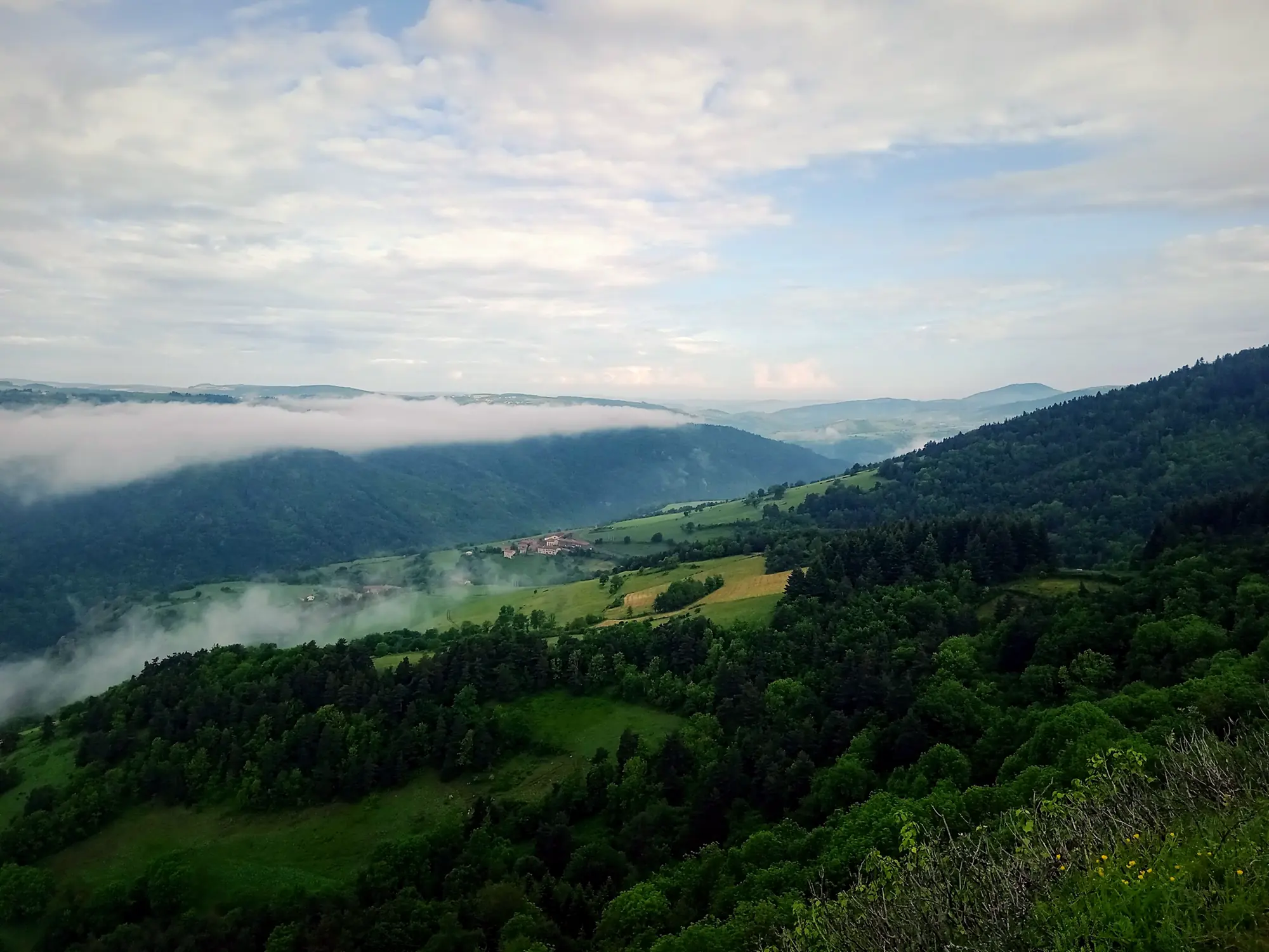
Rochegude chapel, the viewpoint of the day
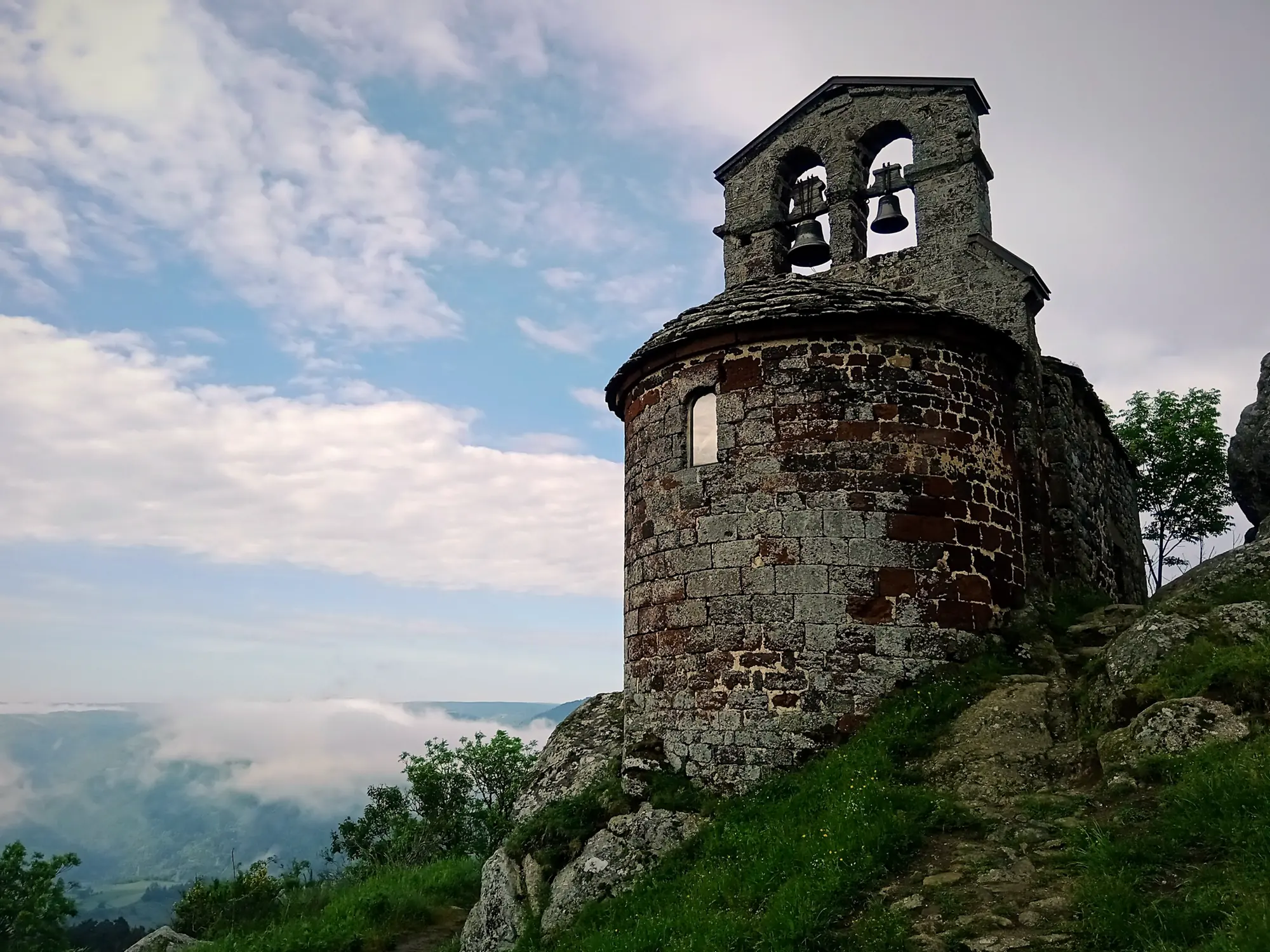
The chapel of Saint-Jacques de Rochegude is a small 12th-century Romanesque chapel, listed as a historic monument since 1 October 1974. Two vaulted bays, a semicircular apse, a bell-gable and traces of paintings dated to around the 17th century. It is privately owned, but you can walk around it, and the setting is the real draw: Rochegude was once a stronghold between the Velay and the Gévaudan, and the spur gives a proper panorama over the Allier gorges.
Its altitude varies between sources: 967 m for Gronze and most guides, 945 m for the Visorando GPS point (taken on the path below the chapel). Call it "around 960 m". It is the high point of this half-stage; everything after it goes down.
The descent to Monistrol: how to handle it
This is the part pilgrims talk about over dinner. From Rochegude you lose some 350 to 370 m, much of it in forest, on switchbacks between rocks. Podiensis flags a technical section around km 3.5 of the stage, up to −19% for a few hundred metres. It is not dangerous for an attentive walker, but it is hard on the knees, especially on day two out of Le Puy.
Our tips for the descent. Get your poles out before Rochegude and shorten them a little. Take short steps with knees slightly bent, and put your foot down flat rather than on the edge of a rock. In the rain, volcanic rock and wet leaves get slippery: slow right down. Tighten your laces before you start so your toes do not hit the front of your boots. None of this is official guidance, just what we see in the walkers who arrive in good shape.
Where to fill your water bottle
Carry enough water for the whole section. Combriaux, Rochegude and Pratclaux have no services. One online guide mentions a water point in Rochegude, and OpenStreetMap shows drinking water near Pratclaux, but no official source confirms them, so do not rely on them. Monistrol itself has several water points and public toilets, including a toilet with running water opposite the point where the path meets the D589.
What to see when you reach Monistrol-d'Allier
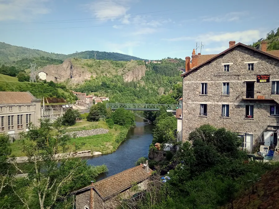
The first landmark is the Eiffel bridge. In 1877 the département bought the 1835 suspension bridge and called in the Eiffel company: the new metal bridge was completed in 1888, around the same time as the Garabit viaduct. A modern road bridge with a curved metal deck was added in 1998-1999. The official route sheet only says the GR crosses the Allier "on the metal bridge": whichever one you use, spend five minutes on the Eiffel bridge, which is open to all.
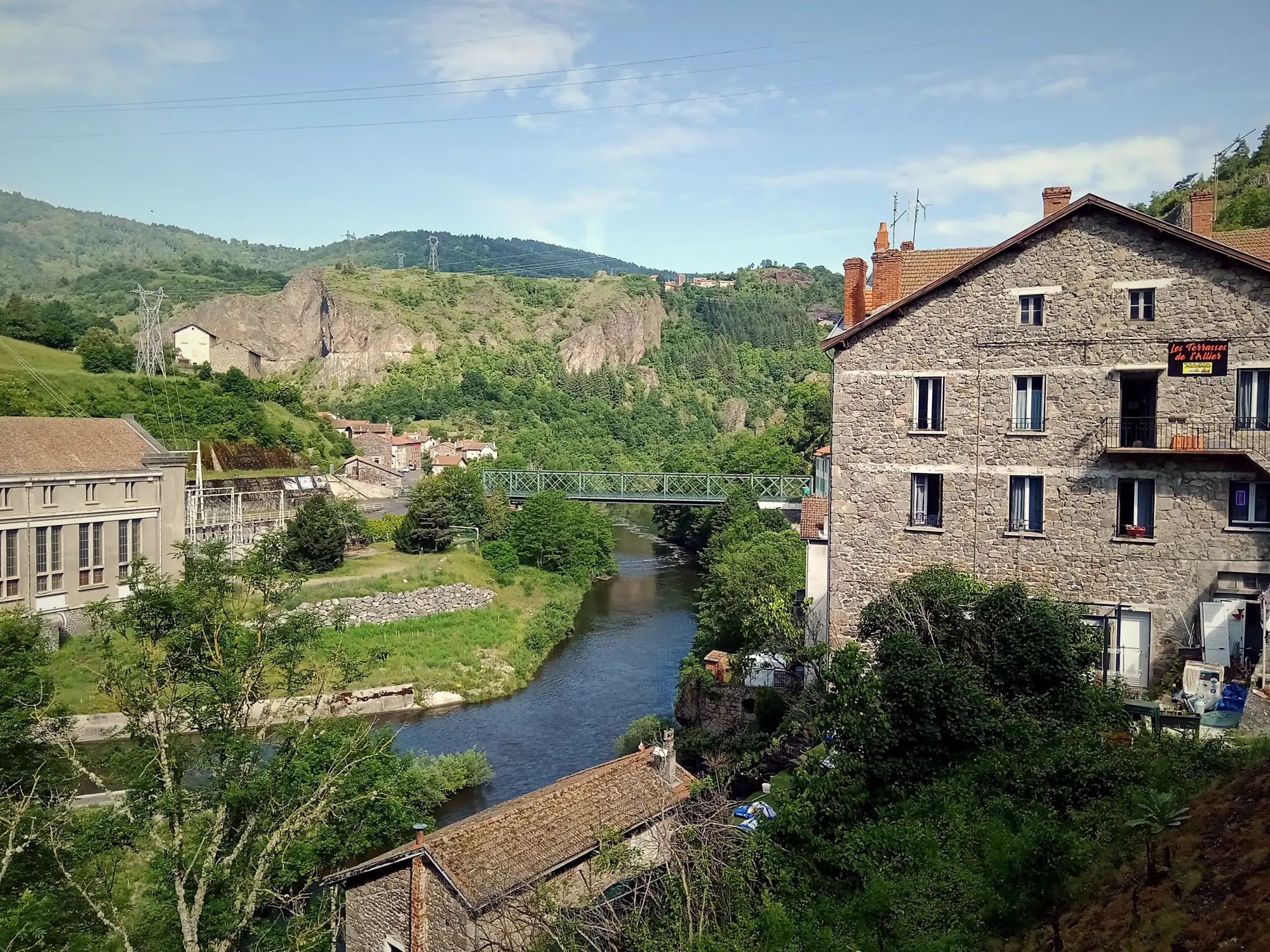
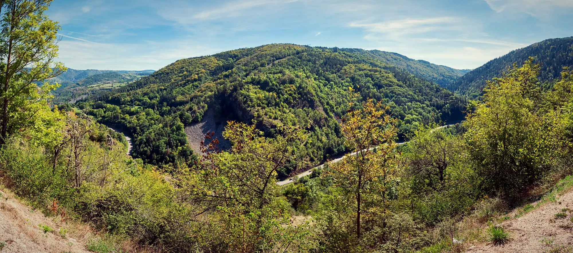
Inside the church is the painted statue of Notre-Dame d'Estours, carried in procession in 1767 to plead for protection from the Beast of Gévaudan. If you stay for the afternoon, the river is good for a swim in summer. For more ideas, see our guide to things to do in the Allier gorges.
Services in Monistrol-d'Allier: what you need to know
Monistrol is a small village. Before you arrive, keep these points in mind:
- No ATM. There is no cash machine in Monistrol or within 9 km; the nearest on the route are in Saugues. Withdraw cash in Le Puy-en-Velay.
- No pharmacy. The nearest one on the GR65 is in Saugues, so carry your own blister kit.
- No confirmed grocery shop. The old bakery-grocery closed in 2022 and the town hall no longer lists one. Buy supplies in Saint-Privat or Le Puy.
- Post office counter (agence postale communale): Tuesday to Friday 9 to 11:30 a.m., Saturday 8:15 a.m. to noon.
- Credential stamp: official stamp at the town hall (Tuesday, Thursday, Friday 8:15 a.m. to noon, Saturday of even-numbered weeks 8 a.m. to noon), and at L'Auberge des Amis every day. More in our guide to the pilgrim credential.
- Railway station on the Clermont-Ferrand to Nîmes line, known as the "Cévenol" (buy tickets on board). There is no train to Le Puy: to get back there, regional bus H04 links Saugues, Monistrol and Le Puy-en-Velay. Engineering works are scheduled from 5 October to 6 November 2026, with replacement coaches: check SNCF Connect or TER AURA.
- Luggage transfer: La Malle Postale covers the Le Puy route (+33 4 71 04 21 79).
Lunch or dinner after the descent
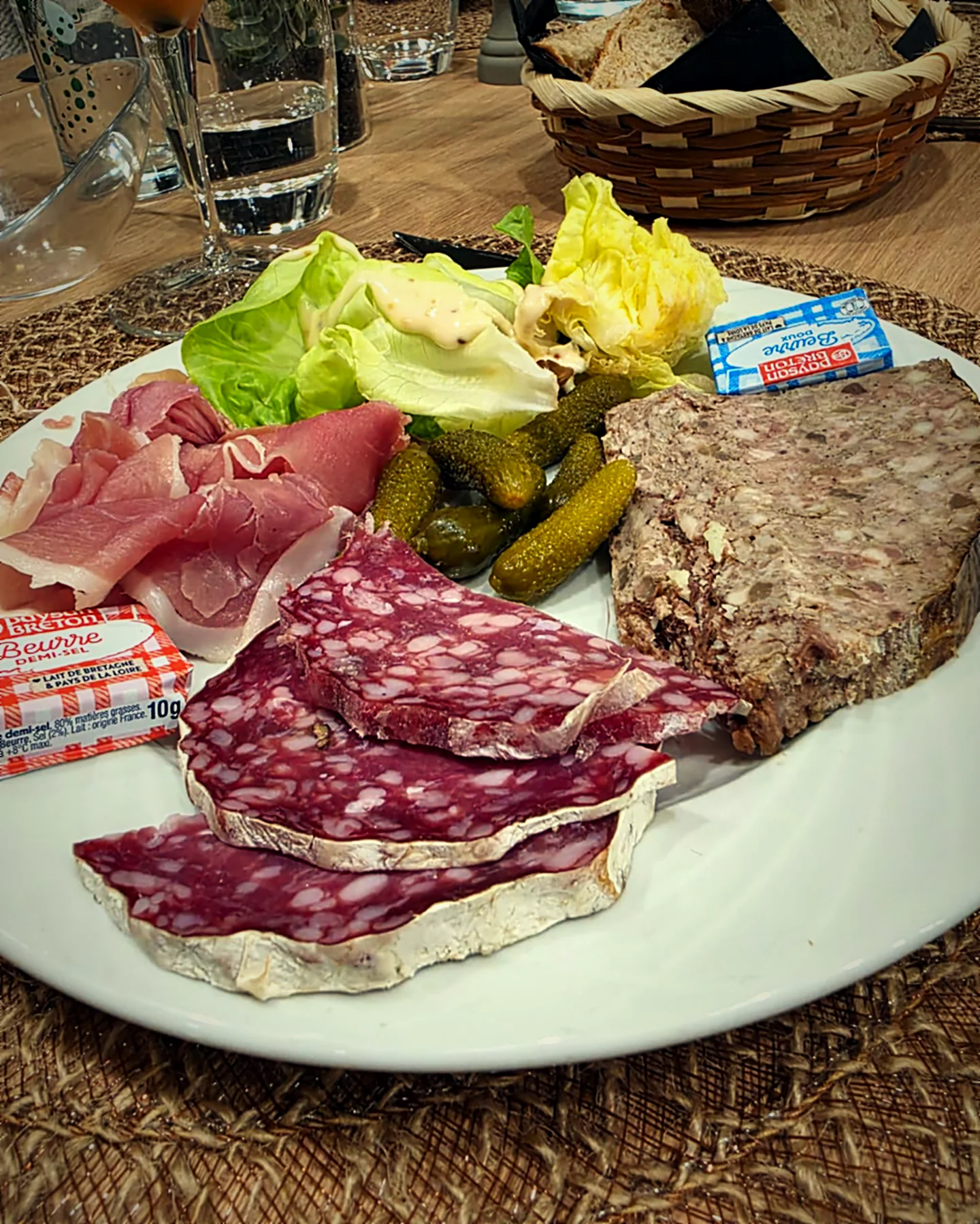
Leave Saint-Privat around 9 a.m. and you will usually reach Monistrol around 11:15: the perfect time to sit down before the climb. There are several places to eat in the village (see our guide on where to eat in Monistrol-d'Allier). At L'Auberge des Amis, on the Route du Gévaudan and right on the GR65, lunch is served from noon to 2 p.m., seven days a week: a €22 set menu with starter, main, cheese, dessert, coffee and a quarter-litre of wine. If you arrive later, the snack menu runs from 3 to 6 p.m. and fresh sandwiches are available all day.
If you are staying in the village, dinner is served from 7 to 10 p.m., and you can order a packed lunch to take away (€14) for the next day: handy, since there are no services on the plateau before Saugues. We stamp your credential while you are here, and there is a laundry, secure bike storage and Wi-Fi for pilgrims. The auberge's hotel opens in March 2027; until then, the town hall lists several places to stay in the village, including the Gîte du Pont Eiffel, Le Repos du Pèlerin and Camping Le Vivier. To book a table: book online or call +33 6 01 86 25 44.
What comes next: on to Saugues
From Monistrol to Saugues there are still 12 to 13.5 km and the most physical part of the stage: an almost continuous climb of 400 to 500 m over the first 4 to 6 km, past the cave chapel of La Madeleine, up to the plateau at around 1,100 m. If you are pushing on the same day, eat well, fill your bottles and do not hang about: the slope gets the afternoon sun. If you sleep in Monistrol, you climb in the cool, with breakfast from 6:30 a.m. Everything is in our guide to the Monistrol-d'Allier to Saugues stage.
Frequently asked questions
Is there an ATM in Monistrol-d'Allier?
No. There is no cash machine in Monistrol-d'Allier or within 9 km of it. The nearest ones on the route are in Saugues (Crédit Agricole and Caisse d'Épargne). Withdraw cash in Le Puy-en-Velay before you set off.
How long does it take from Saint-Privat-d'Allier to Monistrol-d'Allier?
Allow about 2 to 2.5 hours including breaks for 7 to 7.4 km. A group leaving Saint-Privat shortly after 9 a.m. usually reaches Monistrol around 11:15, just in time for lunch.
Do I need trekking poles for the descent to Monistrol?
They are not compulsory, but we recommend them to every walker. From Rochegude the path loses about 350 m on rocky switchbacks, with sections of up to −19%. Poles take a lot of strain off the knees and steady your footing, especially when it is wet.
Can you walk Saint-Privat to Saugues in one day?
Yes, that is the classic stage: 19.9 km, +803 m / −703 m and 5 h 05 according to the official Haute-Loire route sheet. But Monistrol sits halfway and at the lowest point, so many walkers stop there for lunch before the big climb, and some stay the night to tackle it fresh the next morning.
Where can I get my pilgrim credential stamped in Monistrol-d'Allier?
The official stamp is at the town hall (Tuesday, Thursday and Friday 8:15 a.m. to noon, Saturday of even-numbered weeks 8 a.m. to noon). L'Auberge des Amis on the Route du Gévaudan also stamps credentials every day.
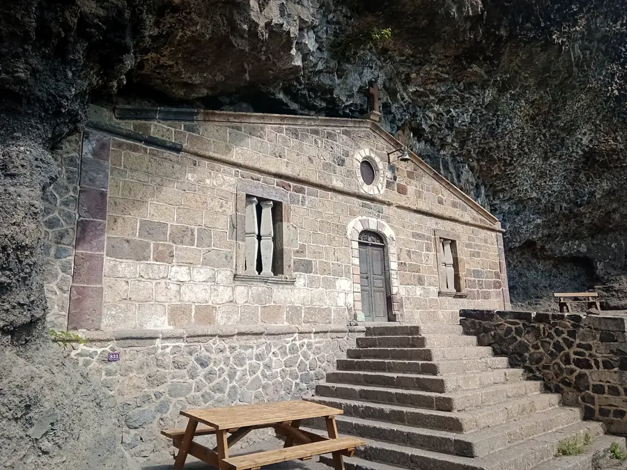
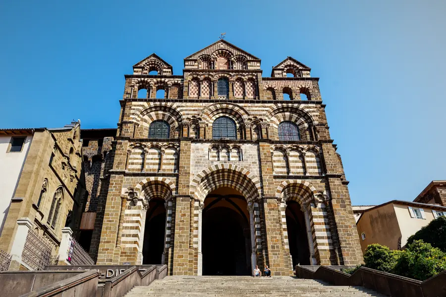
Photo credits — Chapelle Saint-Jacques de Rochegude © Rémih, CC BY-SA 4.0 (Wikimedia Commons) · Monistrol-d'Allier © Rémih, CC BY-SA 4.0 (Wikimedia Commons) · Monistrol-d'Allier © Krzysztof Golik, CC BY-SA 4.0 (Wikimedia Commons) · Gorges de l'Allier © Rémih, CC BY-SA 4.0 (Wikimedia Commons)