The Le Puy-en-Velay to Saint-Privat-d'Allier stage, the first day on the GR65 (Via Podiensis), is 23.2 km (14.4 miles) according to the official Haute-Loire route sheet, with +642 m of climbing and 5h45 of walking. You leave town at about 630 m, cross the Velay plateau via Saint-Christophe-sur-Dolaison and Montbonnet, top out at the Lac de l'Œuf (1,206 m), then drop down to Saint-Privat-d'Allier, at around 880 to 890 m on the rim of the Allier gorges.
How long and how hilly is the first stage of the Le Puy route?
The figures depend on where you start and whose GPS track you trust. The department's route sheet gives 23.2 km, +642 m, 5h45, starting from Rue Saint-Jacques, and notes that you should add 625 m if you set off from the cathedral. Gronze gives 23.3 km (+616 m / −420 m), Podiensis 23.6 km (+620 m / −420 m, about 6 hours), and Visorando 24.98 km from Avenue de Bonneville at the bottom of town. The web version of the official sheet shows 401 m of descent.
Even the difficulty rating varies: "Intermediate" in the official PDF, "Difficult" on the web page for the same route. Expect a long day with nothing technical, but two moments that bite: the climb out of Le Puy and the final descent.
The departure: 7am mass, the blessing and Rue Saint-Jacques
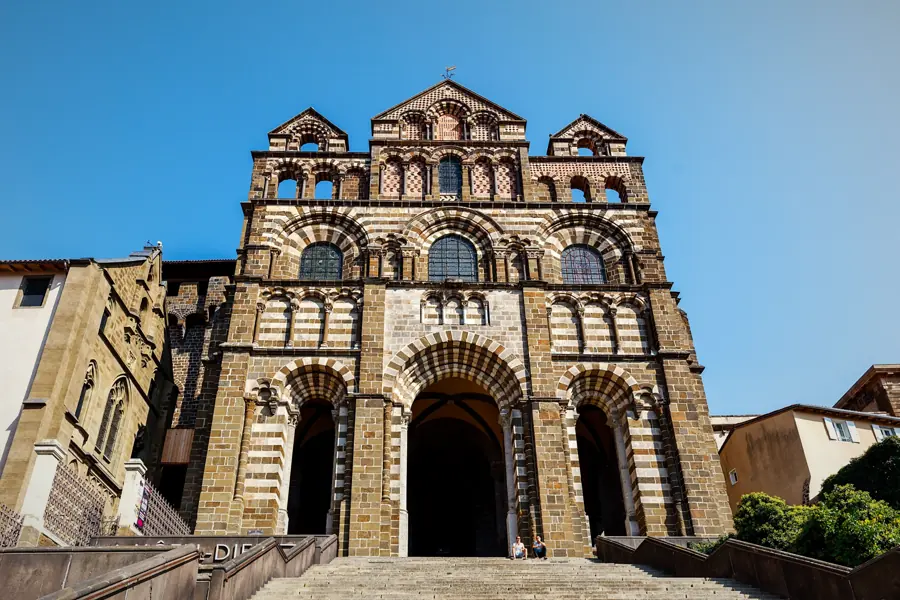
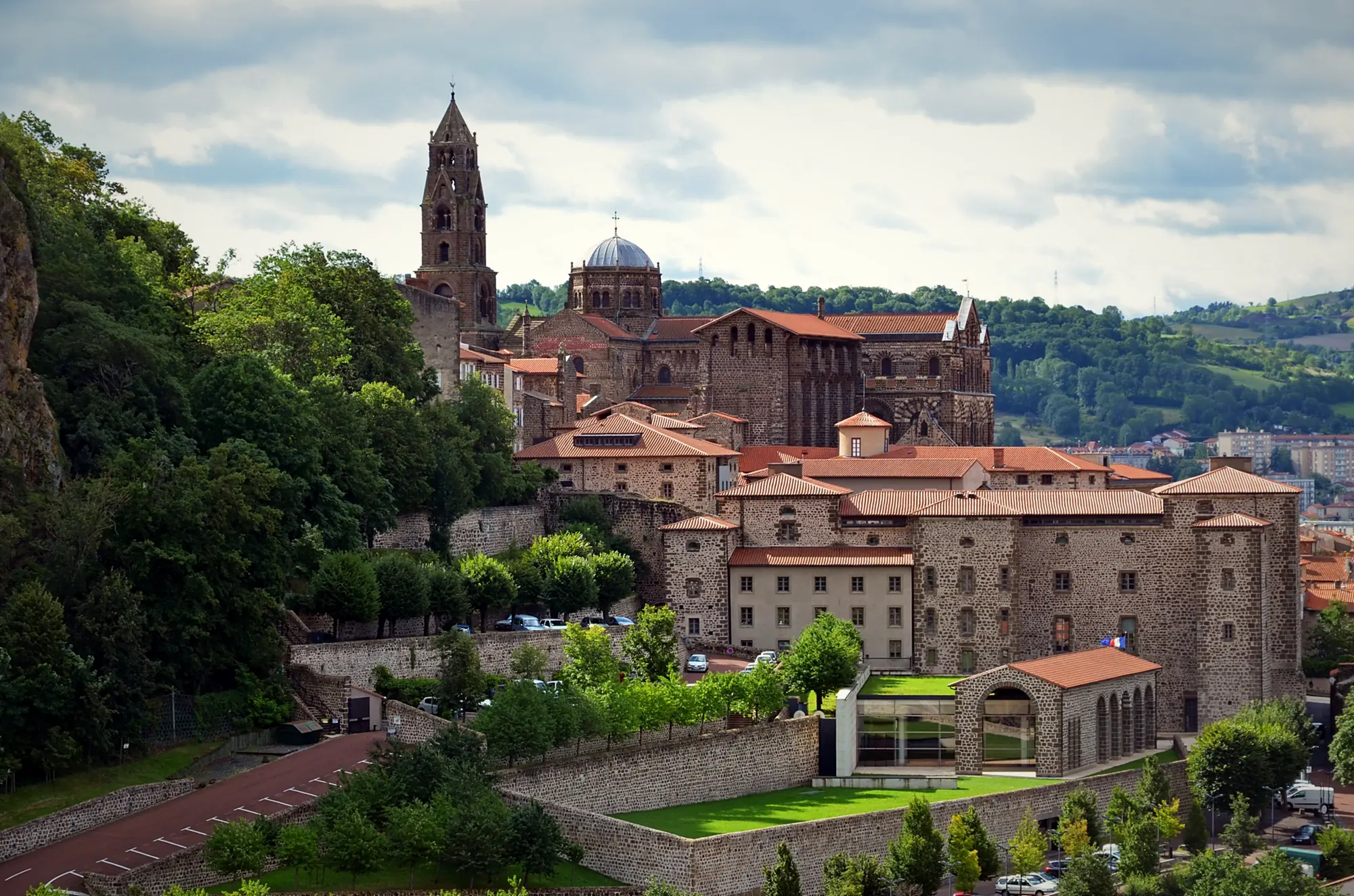
From 1 April to 31 October, mass is celebrated every day at 7am in Notre-Dame cathedral, followed by the pilgrims' blessing and the handing out of the credential. From 1 November to 31 March it takes place at 7:30am, Monday to Friday. The blessing is open to everyone, and it is often where you first meet the people you will walk with for days. If you do not have your credential yet, everything is explained in our pilgrim credential guide.
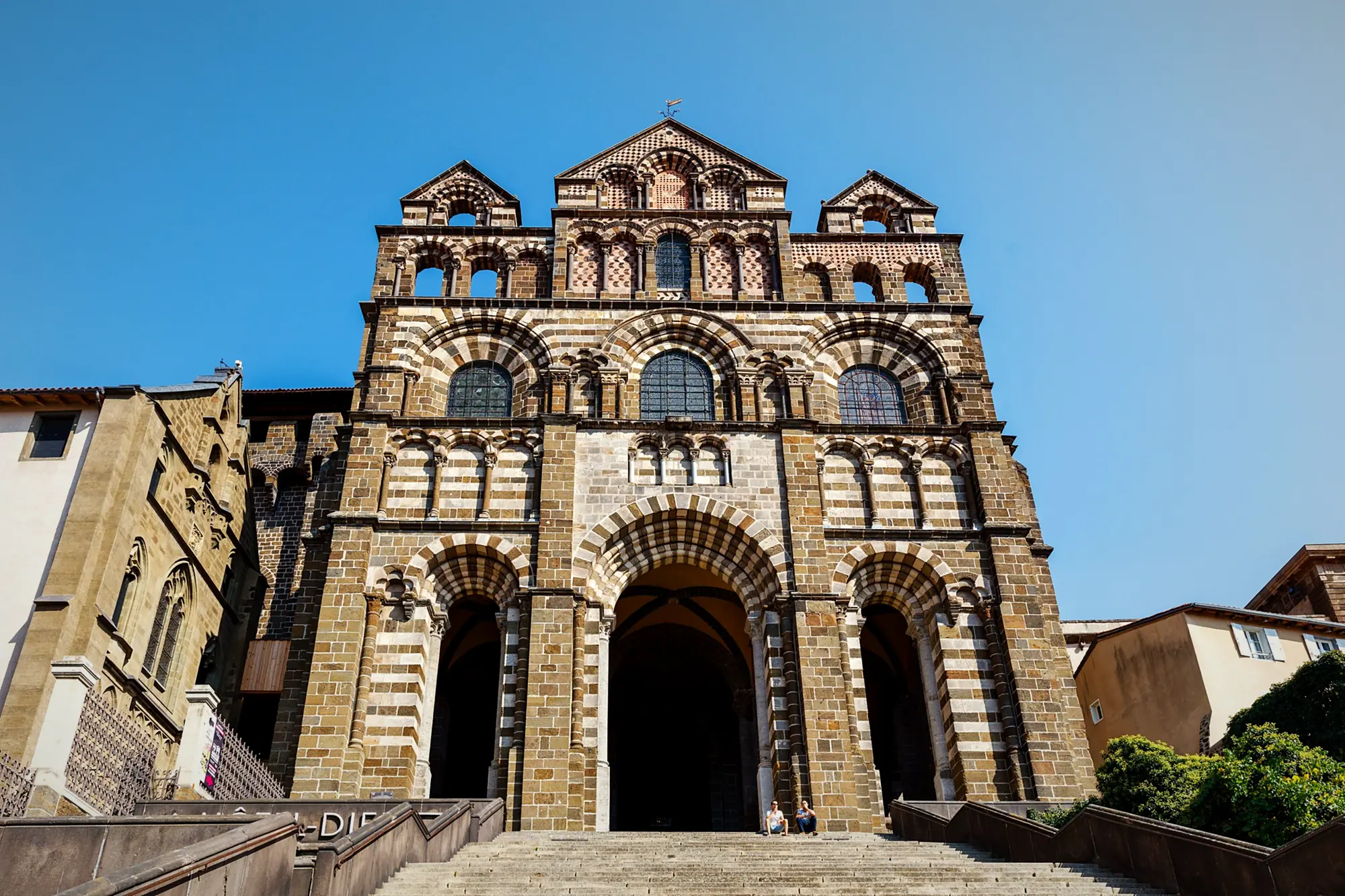
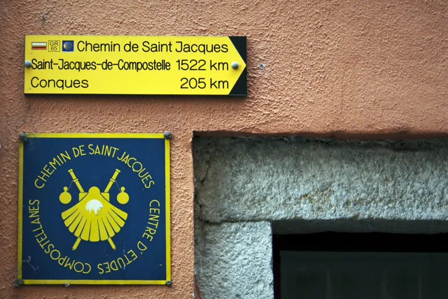
To leave town, the tourist office tells you to walk down Rue des Tables, turn left at the fountain into Rue Saint-Raphaël and reach Place du Plot, the official start of the GR65. From there, signs point you into Rue Saint-Jacques and show the distance to Santiago. The official route sheet suggests following the bronze scallop shells set into the pavement from the cathedral.
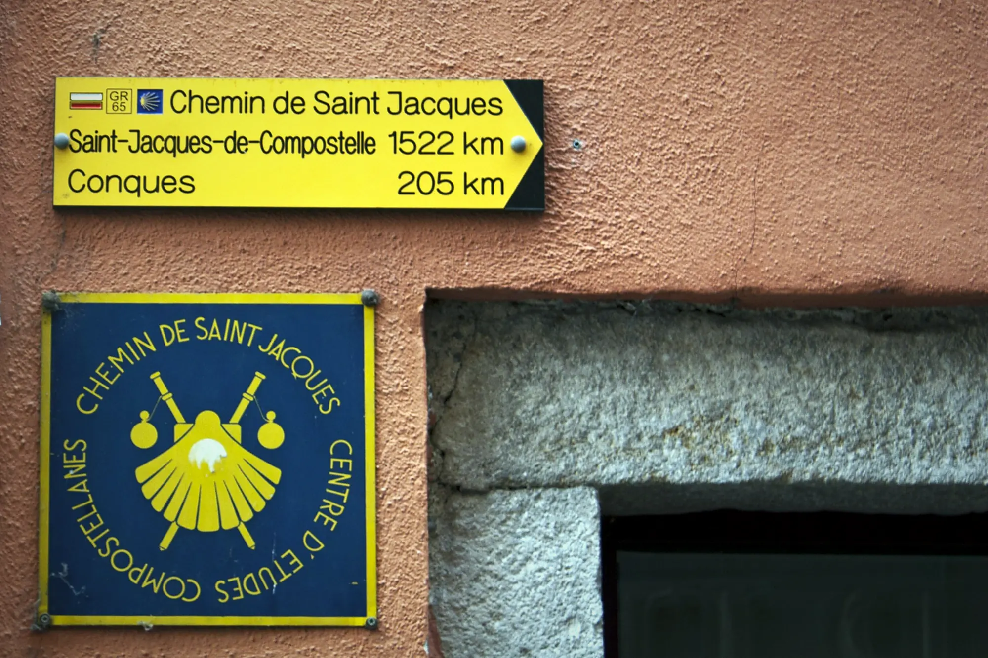
The route, step by step
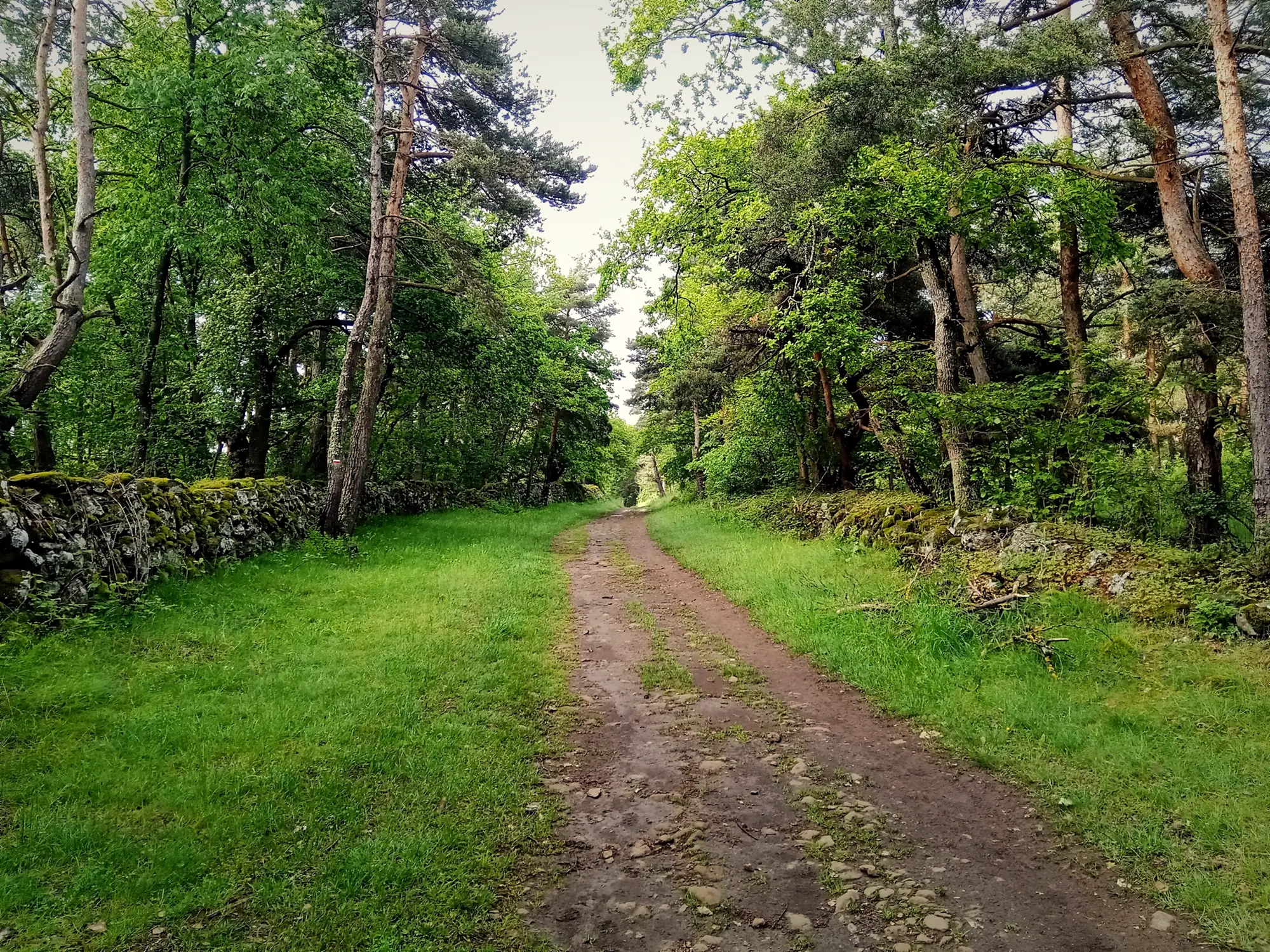
- Le Puy-en-Velay km 0 · ≈ 630 m Rue Saint-Jacques, Rue des Capucins, then Rue de Compostelle to the sports ground. A dirt path joins a road that climbs hard: more than 10% over the first kilometre, according to Podiensis.
- Croix de Jalasset At the top, a wide stony track leads to a junction marked by this cross dated 1621, of which only the shaft survives.
- La Roche ≈ km 5 · 870 m Cross the D589; the path then skirts the hamlet along a ledge above the Gazelle ravine and follows the ridge line.
- Saint-Christophe-sur-Dolaison ≈ km 9 to 10 · 908 m After a small wood and the La Roche stream, the first real village, with its château and Romanesque church. The classic mid-morning coffee stop.
- Tallode, Liac, Lic ≈ km 12 to 13 · 946-966 m Quiet lanes and stony tracks through the plateau hamlets.
- Ramourouscle ≈ km 15 · 1,034 m Follow the D621, then a paved lane past the Saint-Roch chapel.
- Montbonnet ≈ km 16 to 17 · 1,108 m The Pilgrims' Cross and the junction with the GR40 (Tour du Velay). A good place for lunch.
- Lac de l'Œuf ≈ km 20 · 1,206 m After 150 m on the D589, the ruins of La Baraque and a climb through the woods, you walk along this small lake: the high point of the day.
- Le Chier ≈ km 22 · ≈ 1,030 m Down a grassy path, across the D589, then the "coudert", the hamlet's small common meadow. Next, a stony track between two walls and a heath dotted with pines.
- Saint-Privat-d'Allier km 23.2 · ≈ 880-890 m Cross the Rouchoux stream at the Piquemeule mill, then the GR joins the D589 at the first houses of the village.
Intermediate distances come from the Visorando and Podiensis tracks and may shift by a kilometre depending on where you started.
Montbonnet and the Saint-Roch chapel
Just before Montbonnet, the Saint-Roch chapel is the first real landmark of the Way. It dates from the 13th century, was restored in the 20th, and served as a stopover chapel on the old Velay roads. The village sits at roughly the two-thirds mark (15.5 to 17 km from Le Puy depending on the source, 7.5 km before Saint-Privat), and many pilgrims stop here for lunch before the last climb to the Lac de l'Œuf.
Where to get a coffee and fill your water bottle
No official source lists a water point on this stage, so leave Le Puy with full bottles: Visorando mentions the pilgrims' fountain on Place du Plot. For the rest, here is what guides and pilgrims report:
- Saint-Christophe-sur-Dolaison: a bar on the left as you enter the village, making sandwiches to take away (pilgrim reports from April and September 2025). Visorando mentions a grocery and bread depot, but a pilgrim found the shop closed in 2022. There may be a water source near the church, unconfirmed.
- Montbonnet: a café (drinks and snacks, shaded terrace) and a restaurant with guest rooms, reported by pilgrims in 2023.
- Saint-Privat-d'Allier: Le Kompost'L bar-tabac on arrival, supplies available and a small grocery, plus several gîtes and restaurants.
Plan for the worst. Village cafés change their hours and seasons, so carry enough water and a lunch, especially outside the main season. And take out cash in Le Puy: cash machines are scarce further on, and there is none in Monistrol-d'Allier.
The descent into Saint-Privat: what to expect
After the Lac de l'Œuf you lose about 320 m down to the village, much of it after Le Chier. Podiensis records gradients of up to −14% between km 22.4 and 22.9, and Gronze describes a tricky forest descent on the approach to Saint-Privat. Nothing extreme, but at the end of your first day, with a pack that is not yet properly adjusted, your legs will notice.
Tip from the auberge. Adjust your pack at the Saint-Christophe break, not on arrival: day one is when blisters and sore shoulders start. To cut weight before you set off, see our packing list for the Le Puy route.
Arriving in Saint-Privat-d'Allier
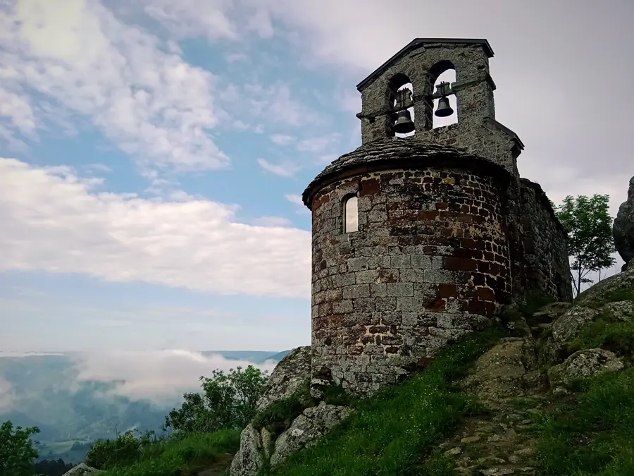
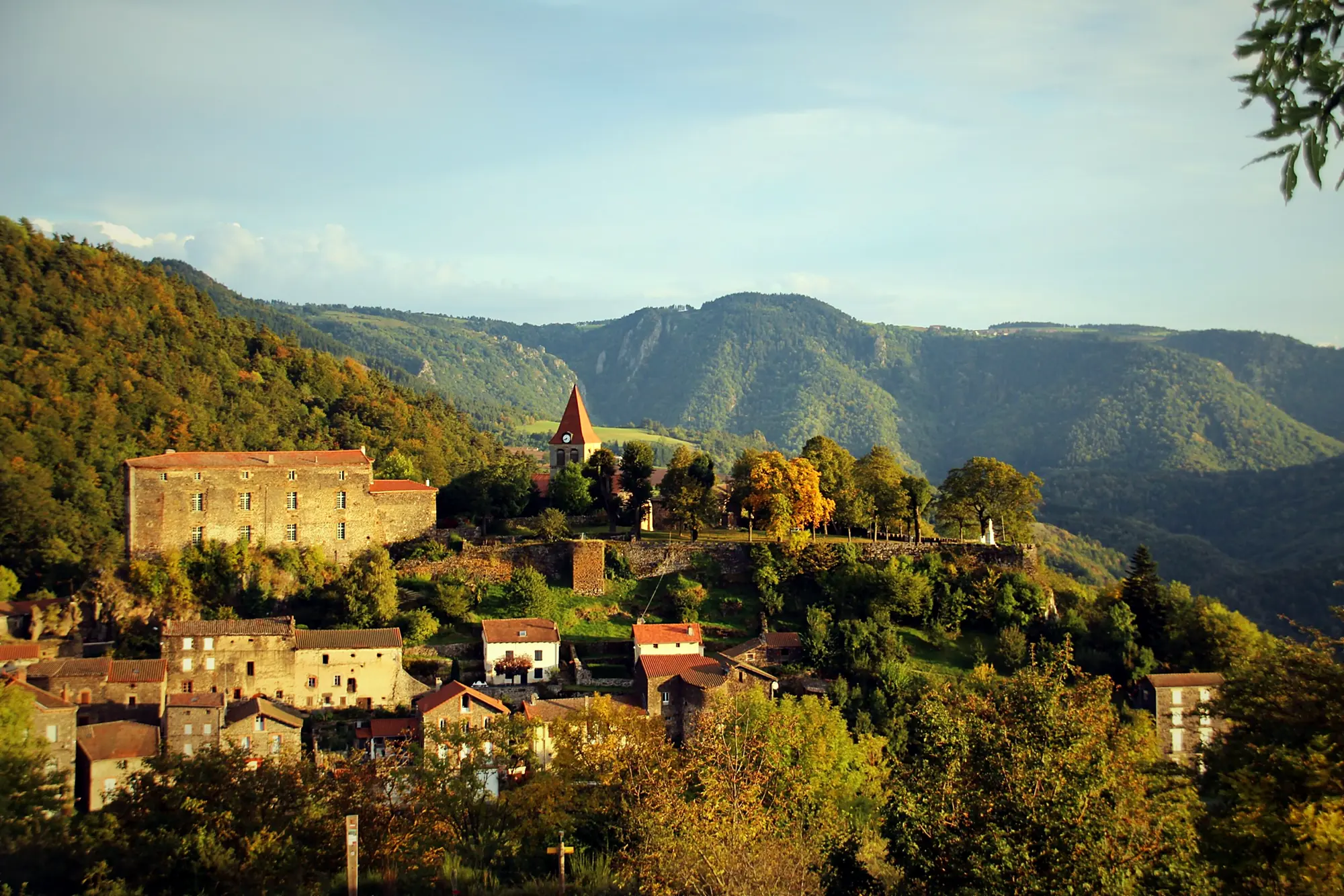
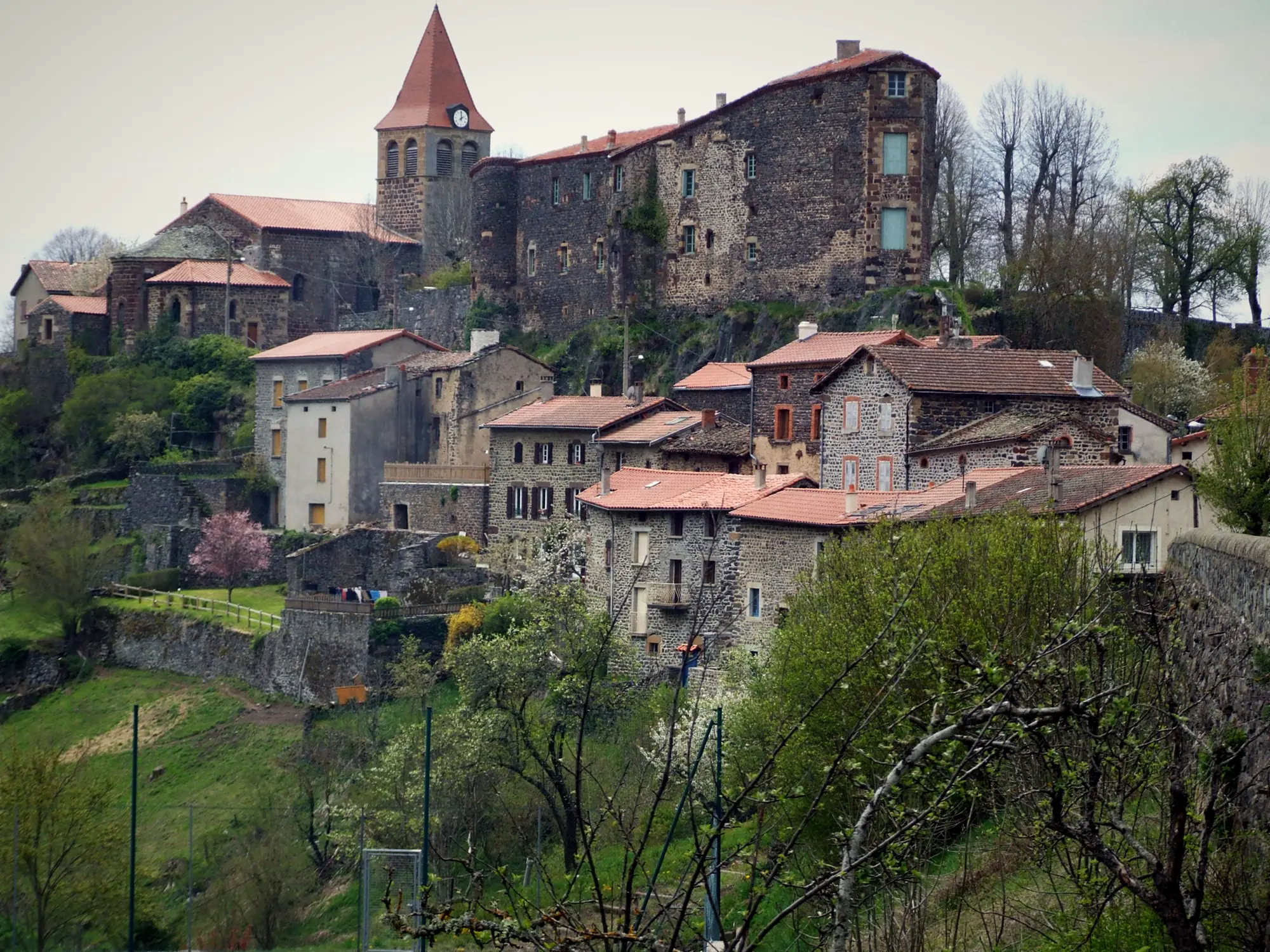
Saint-Privat-d'Allier sits on the edge of the gorges. Its Romanesque church keeps parts from the 12th century, and the ruins of the 13th-century castle overlook the valley from the cliff edge: walk to the viewpoint, it is a foretaste of tomorrow. Beds are split between gîtes, guest rooms and a campsite; in season, book before you leave Le Puy.
The next day: 7 km to Monistrol-d'Allier
From Saint-Privat, only 7 to 7.4 km (about 4.5 miles) remain to Monistrol-d'Allier: a short climb to the Rochegude chapel, then roughly 350 m of rocky descent to the bottom of the gorge. Leave around 9am and you usually arrive around 11:15. Full details in our guide Saint-Privat-d'Allier to Monistrol-d'Allier.
That is perfect timing for a proper meal before the big climb to Saugues. At L'Auberge des Amis, on the Route du Gévaudan and right on the GR65, lunch is served from 12pm to 2pm, 7 days a week: a €22 set menu with starter, main, cheese, dessert, coffee and a quarter-litre of wine.
If you would rather split the day and sleep in Monistrol, dinner is served from 7pm to 10pm and the walker's breakfast (€9) from 6:30am. We stamp your credential, prepare a packed lunch to take away (€14) on request, and pilgrims can use the laundry, secure bike storage and Wi-Fi. The auberge's hotel opens in March 2027; in the meantime, book a table or call +33 6 01 86 25 44.
Can you walk Le Puy to Monistrol in a single day?
You can: 30 to 31 km (about 19 miles) in total, and Gronze offers the option (30.3 km) to fitter walkers. But you would string together two descents, Le Chier and then Rochegude, with 23 km already in your legs, all on day one. For most pilgrims the comfortable plan is still a night in Saint-Privat, lunch in Monistrol the next day, then the climb to Saugues in the afternoon or the following morning.
Frequently asked questions
How far is it from Le Puy-en-Velay to Saint-Privat-d'Allier?
23.2 km (14.4 miles) according to the official Haute-Loire route sheet, measured from Rue Saint-Jacques. Add 625 m if you start at the cathedral. Other guides give 23.3 to 23.6 km, and Visorando almost 25 km from the bottom of town.
What time is the pilgrim blessing in Le Puy?
From 1 April to 31 October, mass is held every day at 7am in the cathedral, followed by the pilgrims' blessing and the handing out of credentials. From 1 November to 31 March it is at 7:30am, Monday to Friday.
Where can I get a coffee between Le Puy and Saint-Privat?
Pilgrims report a bar at the entrance to Saint-Christophe-sur-Dolaison (around km 9) and a café in Montbonnet (around km 16). This comes from recent pilgrim feedback, not an official list, so carry food and water in case they are closed.
What is the highest point of the stage?
The Lac de l'Œuf, at 1,206 m, around km 20. You leave Le Puy at about 630 m and finish in Saint-Privat-d'Allier at about 880 to 890 m, so the first day climbs far more than it descends.
Can you walk from Le Puy to Monistrol-d'Allier in one day?
Yes, if you are fit: allow 30 to 31 km, with the Rochegude descent at the very end of the day. Most pilgrims prefer to sleep in Saint-Privat and reach Monistrol the next morning (7 to 7.4 km), in time for lunch.
Photo credits — Saint-Privat-d'Allier © Jeandu43, CC BY-SA 4.0 (Wikimedia Commons) · Saint-Privat-d'Allier © Wivoelke, CC BY 3.0 (Wikimedia Commons) · GR65 trail Haute-Loire / Margeride © Rémih, CC BY-SA 4.0 (Wikimedia Commons) · Le Puy-en-Velay cathedral © Selbymay, CC BY-SA 4.0 (Wikimedia Commons) · Le Puy-en-Velay cathedral © Marmontel, CC BY 2.0 (Wikimedia Commons) · Le Puy-en-Velay cathedral © Daniel Villafruela., CC BY 3.0 (Wikimedia Commons)